
Jamalpur Nankari topographic map
Interactive map
Click on the map to display elevation.
About this map
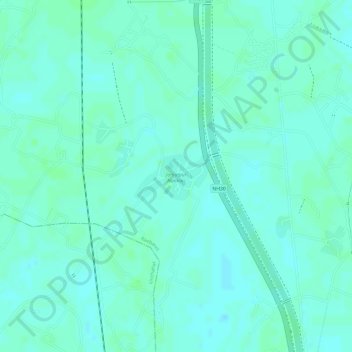
Name: Jamalpur Nankari topographic map, elevation, terrain.
Location: Jamalpur Nankari, Raebareli, Uttar Pradesh, India (26.10898 81.25337 26.11294 81.26003)
Average elevation: 110 m
Minimum elevation: 106 m
Maximum elevation: 112 m