
El Misti topographic map
Interactive map
Click on the map to display elevation.
About this map
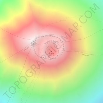
Name: El Misti topographic map, elevation, terrain.
Location: El Misti, Chiguata, Arequipa, Peru (-16.29923 -71.40583 -16.29913 -71.40573)
Average elevation: 5,250 m
Minimum elevation: 4,515 m
Maximum elevation: 5,821 m