
Bashful Peak topographic map
Interactive map
Click on the map to display elevation.
About this map
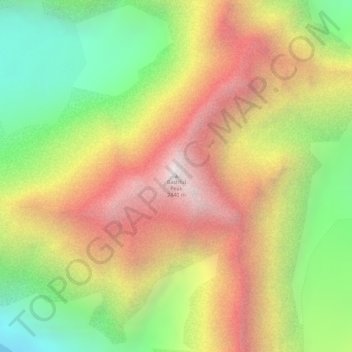
Name: Bashful Peak topographic map, elevation, terrain.
Location: Bashful Peak, Anchorage, Alaska, USA (61.30721 -148.87012 61.30731 -148.87002)
Average elevation: 1,644 m
Minimum elevation: 880 m
Maximum elevation: 2,435 m
Other topographic maps
Click on a map to view its topography, its elevation and its terrain.