
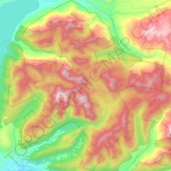
Parque Nacional Huerquehue topographic map
Interactive map
Click on the map to display elevation.
About this map
Name: Parque Nacional Huerquehue topographic map, elevation, terrain.
Average elevation: 1,127 m
Minimum elevation: 386 m
Maximum elevation: 1,941 m
Other topographic maps
Click on a map to view its topography, its elevation and its terrain.
Palguín
Chile > Región de la Araucanía > Provincia de Cautín > Pucón > Palguín
Palguín, Pucón, Provincia de Cautín, Región de la Araucanía, Chile
Average elevation: 494 m