
Flaz topographic map
Interactive map
Click on the map to display elevation.
About this map
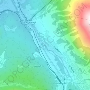
Name: Flaz topographic map, elevation, terrain.
Location: Flaz, Pontresina, Maloja, Graubünden, 7504, Schweiz (46.49249 9.87835 46.51047 9.90016)
Average elevation: 1,891 m
Minimum elevation: 1,718 m
Maximum elevation: 2,604 m
Other topographic maps
Click on a map to view its topography, its elevation and its terrain.
Piz Bernina
Schweiz > Graubünden > Pontresina
Piz Bernina, Pontresina, Maloja, Graubünden, 7504, Schweiz
Average elevation: 3,362 m