
Rock Springs topographic map
Interactive map
Click on the map to display elevation.
About this map
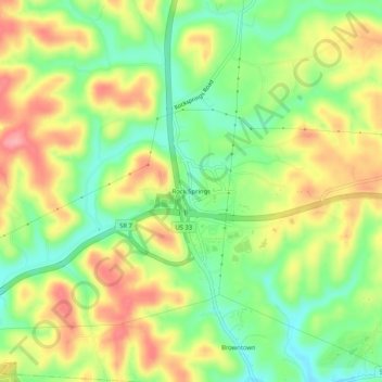
Name: Rock Springs topographic map, elevation, terrain.
Location: Rock Springs, Meigs County, Ohio, 45769, Estados Unidos (39.04008 -82.03597 39.08008 -81.99597)
Average elevation: 224 m
Minimum elevation: 172 m
Maximum elevation: 281 m