
Ludlow topographic map
Interactive map
Click on the map to display elevation.
About this map
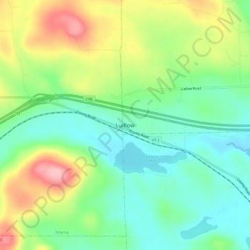
Name: Ludlow topographic map, elevation, terrain.
Location: Ludlow, Aroostook County, Maine, 04761, États-Unis (46.12061 -68.06002 46.16061 -68.02002)
Average elevation: 192 m
Minimum elevation: 137 m
Maximum elevation: 286 m