
Achtkarspelen topographic map
Interactive map
Click on the map to display elevation.
About this map
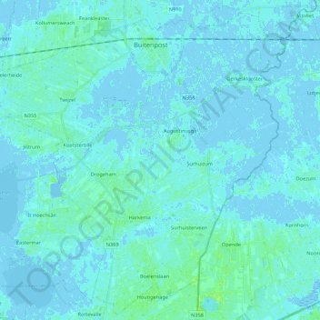
Name: Achtkarspelen topographic map, elevation, terrain.
Location: Achtkarspelen, Friesland, Niederlande (53.14499 6.01979 53.27004 6.23510)
Average elevation: 1 m
Minimum elevation: -4 m
Maximum elevation: 11 m