
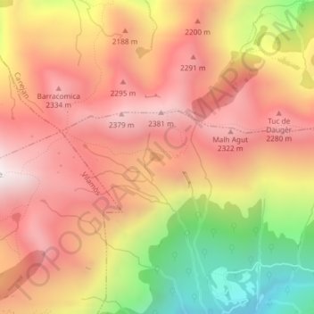
Estanh de Guarbes topographic map
Interactive map
Click on the map to display elevation.
About this map
Name: Estanh de Guarbes topographic map, elevation, terrain.
Average elevation: 2,006 m
Minimum elevation: 1,311 m
Maximum elevation: 2,451 m
Other topographic maps
Click on a map to view its topography, its elevation and its terrain.
Val de Varradòs
Espagne > Catalogne > Vielha e Mijaran
Val de Varradòs, Pista asfaltada de Varradòs, Bordau de Bortolòt, Vielha e Mijaran, Val-d'Aran, Lérida, Catalogne, Espagne
Average elevation: 1,936 m