
Oropa topographic map
Interactive map
Click on the map to display elevation.
About this map
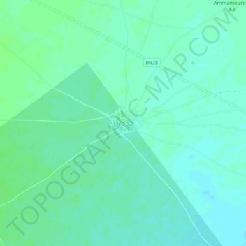
Name: Oropa topographic map, elevation, terrain.
Location: Oropa, Koro Cercle, Mopti, Mali (14.17983 -3.28246 14.21983 -3.24246)
Average elevation: 268 m
Minimum elevation: 264 m
Maximum elevation: 271 m
Other topographic maps
Click on a map to view its topography, its elevation and its terrain.