
Kampung Dato Harun topographic map
Interactive map
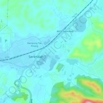
Click on the map to display elevation.
About this map
Name: Kampung Dato Harun topographic map, elevation, terrain.
Average elevation: 66 m
Minimum elevation: 31 m
Maximum elevation: 269 m
Other topographic maps
Click on a map to view its topography, its elevation and its terrain.
Kampung Damai Tambahan
Malaysia > Selangor > Serendah
Kampung Damai Tambahan, Serendah, Hulu Selangor, Selangor, 48200, Malaysia
Average elevation: 58 m