
jimi topographic map
Click on the map to display elevation.
About this map
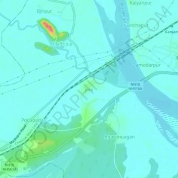
Name: jimi topographic map, elevation, terrain.
Location: jimi, Ganjam, Odisha, 761020, India (19.36113 85.00652 19.40113 85.04652)
Average elevation: 8 m
Minimum elevation: -1 m
Maximum elevation: 57 m