
Aïn El Kebira topographic map
Interactive map
Click on the map to display elevation.
About this map
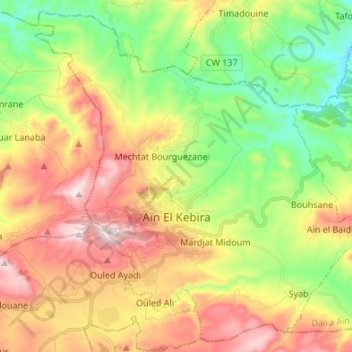
Name: Aïn El Kebira topographic map, elevation, terrain.
Location: Aïn El Kebira, Ain El Kebira District, Setif, Algeria (36.32638 5.45267 36.42837 5.58742)
Average elevation: 958 m
Minimum elevation: 645 m
Maximum elevation: 1,354 m