
Chiponda topographic map
Interactive map
Click on the map to display elevation.
About this map
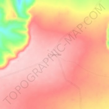
Name: Chiponda topographic map, elevation, terrain.
Location: Chiponda, Lindi, Coastal Zone, Tanzania (-10.11485 39.35166 -10.07485 39.39166)
Average elevation: 599 m
Minimum elevation: 400 m
Maximum elevation: 672 m