Geolocate

Long Melford-Bury St Edmunds branch line topographic map

Click on the map to display elevation.

About this map

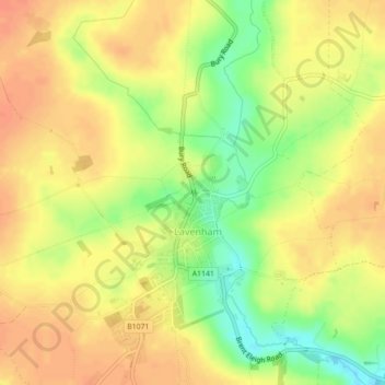
Name: Long Melford-Bury St Edmunds branch line topographic map, elevation, terrain.

Location: Long Melford-Bury St Edmunds branch line, Lavenham, Babergh, Suffolk, East of England, England, CO10 9TT, United Kingdom (52.11269 0.79702 52.11284 0.79736)

Average elevation: 70 m

Minimum elevation: 43 m

Maximum elevation: 85 m

Suffolk trails, hiking, mountain biking, running and outdoor activities

Gear up for your next adventure:

🧊Personal Water Filters - Drink safely from mountain streams marked on your map
🧦Merino Wool Hiking Socks - Moisture-wicking socks to prevent blisters during long mountain walks
🗺️Ordnance Survey Maps - Official UK maps for walking and outdoor activities
🗺️Topographic Maps - Detailed maps showing elevation and terrain features
🍳Camping Stoves - Compact stoves for outdoor cooking

As an Amazon Associate, this site earns from qualifying purchases at no extra cost to you.