Le Bout d'En-Bas topographic map
Interactive map
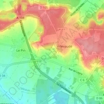
Click on the map to display elevation.
About this map
Name: Le Bout d'En-Bas topographic map, elevation, terrain.
Average elevation: 88 m
Minimum elevation: 47 m
Maximum elevation: 137 m

Click on the map to display elevation.
Name: Le Bout d'En-Bas topographic map, elevation, terrain.
Average elevation: 88 m
Minimum elevation: 47 m
Maximum elevation: 137 m