
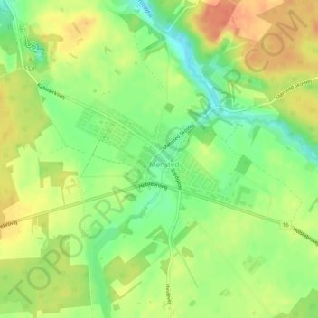
Mønsted topographic map
Interactive map
Click on the map to display elevation.
About this map
Name: Mønsted topographic map, elevation, terrain.
Location: Mønsted, Viborg Municipality, Denmark (56.44115 9.17431 56.45027 9.20266)
Average elevation: 40 m
Minimum elevation: 16 m
Maximum elevation: 62 m