
Aravis topographic map
Interactive map
Click on the map to display elevation.
About this map
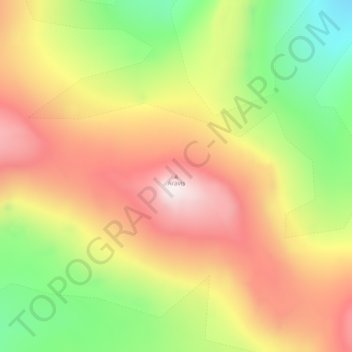
Name: Aravis topographic map, elevation, terrain.
Location: Aravis, Greenland (73.86495 -22.78338 73.86505 -22.78328)
Average elevation: 1,332 m
Minimum elevation: 958 m
Maximum elevation: 1,719 m
Other topographic maps
Click on a map to view its topography, its elevation and its terrain.