
Galkayo District topographic map
Interactive map
Click on the map to display elevation.
About this map
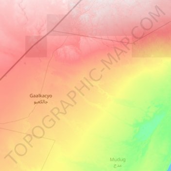
Name: Galkayo District topographic map, elevation, terrain.
Location: Galkayo District, Mudug, Galmudug, Somalia (6.28000 46.52147 7.56095 48.53042)
Average elevation: 303 m
Minimum elevation: 0 m
Maximum elevation: 714 m
Other topographic maps
Click on a map to view its topography, its elevation and its terrain.