
Ahir topographic map
Interactive map
Click on the map to display elevation.
About this map
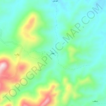
Name: Ahir topographic map, elevation, terrain.
Location: Ahir, Hidaybu, Gouvernorat de l'archipel de Socotra, Yémen (12.57433 54.16718 12.61433 54.20718)
Average elevation: 146 m
Minimum elevation: 18 m
Maximum elevation: 441 m