
Cañitas topographic map
Interactive map
Click on the map to display elevation.
About this map
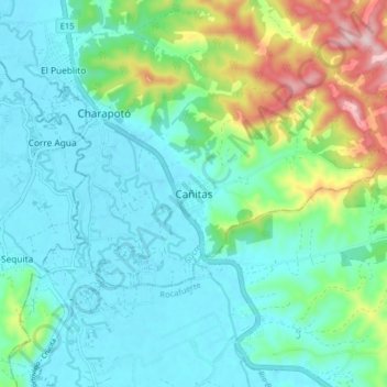
Name: Cañitas topographic map, elevation, terrain.
Location: Cañitas, Charapotó, Sucre, Manabí, Ecuador (-0.89412 -80.50919 -0.81412 -80.42919)
Average elevation: 84 m
Minimum elevation: 2 m
Maximum elevation: 365 m