
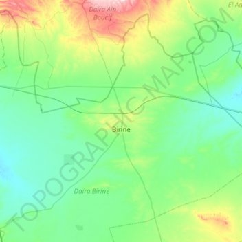
Perrin topographic map
Interactive map
Click on the map to display elevation.
About this map
Name: Perrin topographic map, elevation, terrain.
Location: Perrin, Birine District, Djelfa, 17014, Algeria (35.46949 3.06246 35.82579 3.55770)
Average elevation: 733 m
Minimum elevation: 642 m
Maximum elevation: 1,112 m