Geolocate

Mountain Home topographic map

Click on the map to display elevation.

About this map

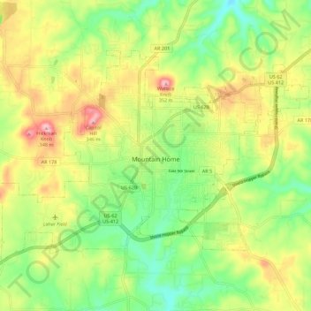
Name: Mountain Home topographic map, elevation, terrain.

Location: Mountain Home, Baxter County, Arkansas, 72653, United States (36.30688 -92.43621 36.36735 -92.32550)

Average elevation: 254 m

Minimum elevation: 182 m

Maximum elevation: 348 m

Other topographic maps

Click on a map to view its topography, its elevation and its terrain.

Buffalo City

United States > Arkansas > Baxter County

Average elevation: 176 m

Shady Grove

United States > Arkansas > Baxter County

Average elevation: 214 m

Gamaliel

United States > Arkansas > Baxter County

Average elevation: 229 m

Gear up for your next adventure:

🧘Folding Sit Mats - Dry and warm seat for map-reading breaks on damp ground
🍳Camping Stoves - Compact stoves for outdoor cooking
👖Convertible Hiking Trousers - Versatile zip-off pants for changing mountain weather conditions
🧣Neck Gaiters - Protects against wind and sun on exposed ridges and peaks
🦟Anti-Midge & Tick Repellent - Vital for hiking in the Scottish Highlands during summer

As an Amazon Associate, this site earns from qualifying purchases at no extra cost to you.