
卡拉夫拉火山 topographic map
Interactive map
Click on the map to display elevation.
About this map
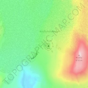
Name: 卡拉夫拉火山 topographic map, elevation, terrain.
Average elevation: 588 m
Minimum elevation: 468 m
Maximum elevation: 804 m
Other topographic maps
Click on a map to view its topography, its elevation and its terrain.
Skútustaðahreppur
Skútustaðahreppur, Norðurland eystra, 660, Islande
Average elevation: 661 m