
Parc Parmentier topographic map
Interactive map
Click on the map to display elevation.
About this map
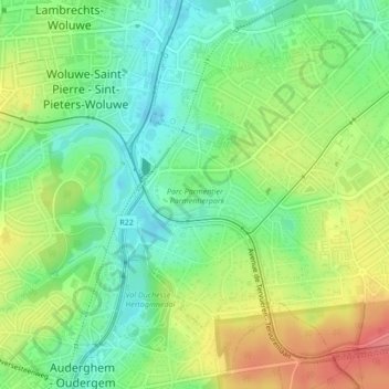
Name: Parc Parmentier topographic map, elevation, terrain.
Average elevation: 72 m
Minimum elevation: 42 m
Maximum elevation: 115 m
Other topographic maps
Click on a map to view its topography, its elevation and its terrain.
Parc de Woluwe
Belgique > Bruxelles-Capitale > Woluwe-Saint-Pierre
Parc de Woluwe, Woluwe-Saint-Pierre, Bruxelles-Capitale, 1150, Belgique
Average elevation: 73 m