
Kalenborn topographic map
Interactive map
Click on the map to display elevation.
About this map
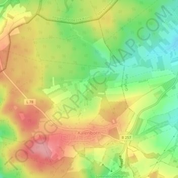
Name: Kalenborn topographic map, elevation, terrain.
Average elevation: 334 m
Minimum elevation: 275 m
Maximum elevation: 390 m
Kalenborn liegt im Ahrgebirge. Unmittelbar nördlich des Ortes liegt das Quellgebiet der Swist. Zu Kalenborn gehört der Wohnplatz Kalenbornerhöhe.