
Cotesbach topographic map
Interactive map
Click on the map to display elevation.
About this map
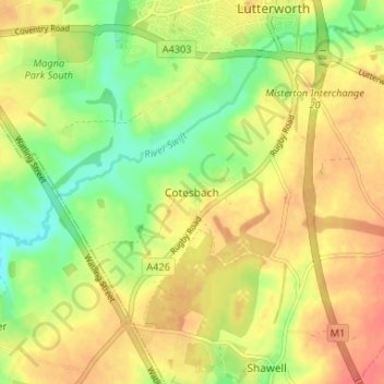
Name: Cotesbach topographic map, elevation, terrain.
Average elevation: 122 m
Minimum elevation: 96 m
Maximum elevation: 142 m
Leicestershire trails, hiking, mountain biking, running and outdoor activities
Other topographic maps
Click on a map to view its topography, its elevation and its terrain.
Eyebrook Reservoir
United Kingdom > England > Leicestershire > Harborough District > Stockerston
Average elevation: 85 m
Carlton Carlieu
United Kingdom > England > Leicestershire > Harborough District > Carlton Carlieu
Average elevation: 135 m