
Jeriau Waterfall topographic map
Interactive map
Click on the map to display elevation.
About this map
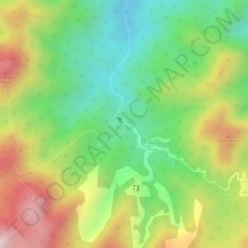
Name: Jeriau Waterfall topographic map, elevation, terrain.
Location: Jeriau Waterfall, Bentong, Pahang, Malaysia (3.72756 101.71169 3.72766 101.71179)
Average elevation: 1,073 m
Minimum elevation: 852 m
Maximum elevation: 1,345 m
Other topographic maps
Click on a map to view its topography, its elevation and its terrain.