
Hutti topographic map
Interactive map
Click on the map to display elevation.
About this map
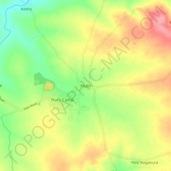
Name: Hutti topographic map, elevation, terrain.
Location: Hutti, Lingasuguru taluku, Raichur, Karnataka, 584115, India (16.16237 76.62803 16.24237 76.70803)
Average elevation: 525 m
Minimum elevation: 480 m
Maximum elevation: 573 m