
Amolatar topographic map
Interactive map
Click on the map to display elevation.
About this map
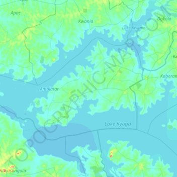
Name: Amolatar topographic map, elevation, terrain.
Location: Amolatar, Northern Region, Uganda (1.43915 32.31181 1.83890 32.99920)
Average elevation: 1,045 m
Minimum elevation: 1,031 m
Maximum elevation: 1,243 m
Other topographic maps
Click on a map to view its topography, its elevation and its terrain.