
Pulau Surunggading topographic map
Interactive map
Click on the map to display elevation.
About this map
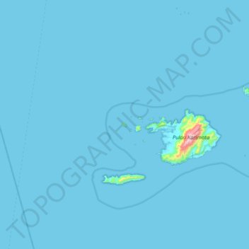
Name: Pulau Surunggading topographic map, elevation, terrain.
Location: Pulau Surunggading, Babel, Indonesia (-1.89271 108.41466 -1.25271 109.05466)
Average elevation: 8 m
Minimum elevation: -1 m
Maximum elevation: 975 m