
Katschberg topographic map
Interactive map
Click on the map to display elevation.
About this map
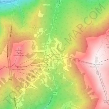
Name: Katschberg topographic map, elevation, terrain.
Location: Katschberg, Tamsweg - Lungau, Salzburg, 9863, Österreich (47.03916 13.59570 47.07916 13.63570)
Average elevation: 1,706 m
Minimum elevation: 1,068 m
Maximum elevation: 2,211 m