
Krems in Kärnten topographic map
Interactive map
Click on the map to display elevation.
About this map
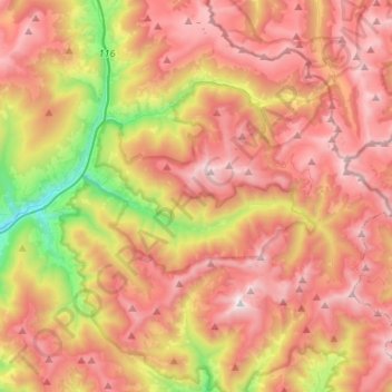
Name: Krems in Kärnten topographic map, elevation, terrain.
Location: Krems in Kärnten, Spittal an der Drau, Carinthia, Austria (46.84775 13.55114 47.00481 13.81542)
Average elevation: 1,707 m
Minimum elevation: 792 m
Maximum elevation: 2,432 m