
Mekhatria topographic map
Interactive map
Click on the map to display elevation.
About this map
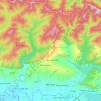
Name: Mekhatria topographic map, elevation, terrain.
Location: Mekhatria, El Amra District, Aïn Defla, 44140, Algeria (36.27794 1.89221 36.43177 2.01809)
Average elevation: 566 m
Minimum elevation: 197 m
Maximum elevation: 1,175 m