
Kerema District topographic map
Interactive map
Click on the map to display elevation.
About this map
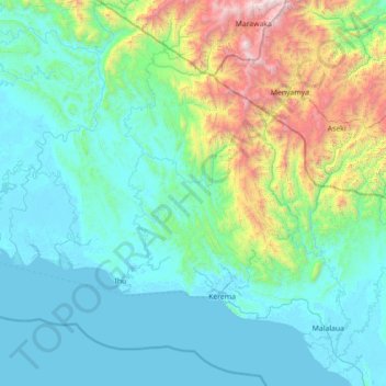
Name: Kerema District topographic map, elevation, terrain.
Location: Kerema District, Gulf, Southern Region, Papua New Guinea (-8.28333 144.96667 -6.88333 146.36667)
Average elevation: 488 m
Minimum elevation: -2 m
Maximum elevation: 3,372 m