
Pyeongnae-dong topographic map
Interactive map
Click on the map to display elevation.
About this map
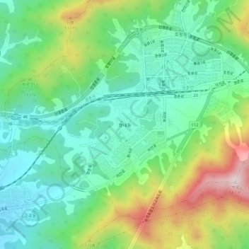
Name: Pyeongnae-dong topographic map, elevation, terrain.
Location: Pyeongnae-dong, Namyangju-si, Gyeonggi, 12223, South Korea (37.62808 127.21578 37.66808 127.25578)
Average elevation: 214 m
Minimum elevation: 49 m
Maximum elevation: 563 m