
Konzell topographic map
Interactive map
Click on the map to display elevation.
About this map
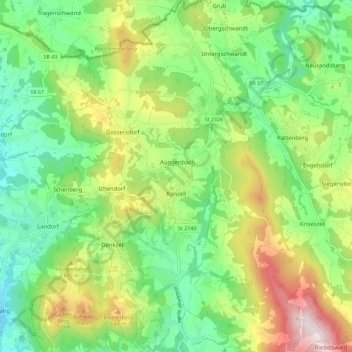
Name: Konzell topographic map, elevation, terrain.
Location: Konzell, Landkreis Straubing-Bogen, Bayern, 94357, Deutschland (49.03934 12.66925 49.11364 12.74283)
Average elevation: 541 m
Minimum elevation: 352 m
Maximum elevation: 881 m