
Toško Čelo topographic map
Interactive map
Click on the map to display elevation.
About this map
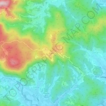
Name: Toško Čelo topographic map, elevation, terrain.
Location: Toško Čelo, Ljubljana, Upravna Enota Ljubljana, 1356, Slovenia (46.06378 14.39876 46.10378 14.43876)
Average elevation: 423 m
Minimum elevation: 308 m
Maximum elevation: 700 m
Other topographic maps
Click on a map to view its topography, its elevation and its terrain.