
Ferwerd topographic map
Interactive map
Click on the map to display elevation.
About this map
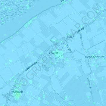
Name: Ferwerd topographic map, elevation, terrain.
Location: Ferwerd, Friesland, Nederland, 9172, Nederland (53.31821 5.80436 53.35821 5.84436)
Average elevation: -1 m
Minimum elevation: -4 m
Maximum elevation: 2 m