
Ier topographic map
Interactive map
Click on the map to display elevation.
About this map
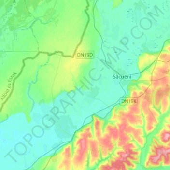
Name: Ier topographic map, elevation, terrain.
Location: Ier, Oradea, Bihor, 417236, Roménia (47.28702 21.88903 47.40896 22.14024)
Average elevation: 126 m
Minimum elevation: 99 m
Maximum elevation: 203 m