
Amsteg topographic map
Interactive map
Click on the map to display elevation.
About this map
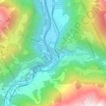
Name: Amsteg topographic map, elevation, terrain.
Location: Amsteg, Uri, 6474, Suisse (46.75108 8.65033 46.79108 8.69033)
Average elevation: 1,051 m
Minimum elevation: 491 m
Maximum elevation: 2,133 m