
Bancroft topographic map
Interactive map
Click on the map to display elevation.
About this map
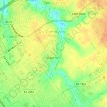
Name: Bancroft topographic map, elevation, terrain.
Location: Bancroft, Jefferson County, Kentucky, USA (38.27858 -85.61791 38.28970 -85.60801)
Average elevation: 183 m
Minimum elevation: 159 m
Maximum elevation: 201 m