
Ruremonde topographic map
Interactive map
Click on the map to display elevation.
About this map
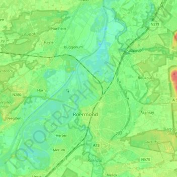
Name: Ruremonde topographic map, elevation, terrain.
Location: Ruremonde, Limbourg, Pays-Bas (51.15875 5.91665 51.25868 6.08602)
Average elevation: 25 m
Minimum elevation: 9 m
Maximum elevation: 61 m