Geolocate

Gotha topographic map

Click on the map to display elevation.

About this map

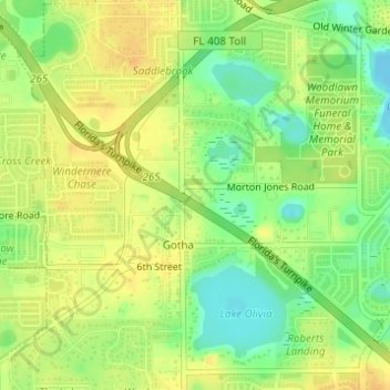
Name: Gotha topographic map, elevation, terrain.

Location: Gotha, Orange County, Florida, United States (28.51905 -81.53659 28.54328 -81.50838)

Average elevation: 38 m

Minimum elevation: 20 m

Maximum elevation: 50 m

Gear up for your next adventure:

👕Merino Base Layers - Natural temperature regulation for cold weather hiking and camping
🎒Hiking Child Carriers - Explore the outdoors with the whole family safely
🔦Waterproof LED Headlamps - Hands-free lighting for evening treks and emergency navigation
🦶Anti-Blister Balms - Protect your feet before long topographic expeditions
🧥Softshell Jackets - Breathable jackets for active outdoor use

As an Amazon Associate, this site earns from qualifying purchases at no extra cost to you.