
Linlithgow Palace and High Street Conservation Area topographic map
Interactive map
Click on the map to display elevation.
About this map
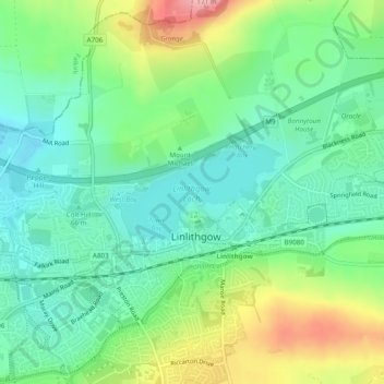
Name: Linlithgow Palace and High Street Conservation Area topographic map, elevation, terrain.
Average elevation: 78 m
Minimum elevation: 34 m
Maximum elevation: 167 m
West Lothian trails, hiking, mountain biking, running and outdoor activities