Geolocate

Foster topographic map

Click on the map to display elevation.

About this map

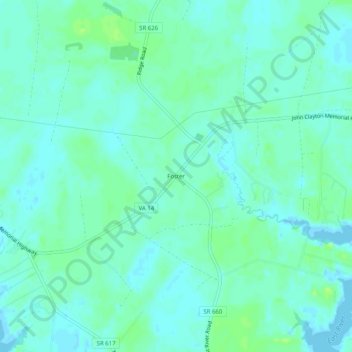
Name: Foster topographic map, elevation, terrain.

Location: Foster, Mathews County, Virginia, 23056, United States (37.43291 -76.40495 37.47291 -76.36495)

Average elevation: 5 m

Minimum elevation: -5 m

Maximum elevation: 13 m

Other topographic maps

Click on a map to view its topography, its elevation and its terrain.

Mathews

United States > Virginia > Mathews County > Mathews

Average elevation: 5 m

Gear up for your next adventure:

🧢Thermal Beanie Hats - Prevent heat loss from the head in windy summit conditions
🌦️Portable Weather Meters - Handheld tools for monitoring weather conditions
Camping Shelters - Emergency and lightweight shelters for outdoor use
🧭Orienteering Compasses - Accurate compasses for map-based navigation
🧺Mesh Stuff Sacks - Breathable storage for wet gear or camp organization

As an Amazon Associate, this site earns from qualifying purchases at no extra cost to you.