
Thank you for supporting this site ❤️
Make a donation
Make a donation
Gear up for your next adventure:
As an Amazon Associate, this site earns from qualifying purchases at no extra cost to you.
Khariaguda topographic map
Click on the map to display elevation.
Thank you for supporting this site ❤️
Make a donation
Make a donation
Gear up for your next adventure:
As an Amazon Associate, this site earns from qualifying purchases at no extra cost to you.
About this map
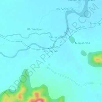
Name: Khariaguda topographic map, elevation, terrain.
Location: Khariaguda, Jarada, Ganjam, Odisha, 761209, India (19.15912 84.44280 19.19912 84.48280)
Average elevation: 72 m
Minimum elevation: 47 m
Maximum elevation: 291 m
Thank you for supporting this site ❤️
Make a donation
Make a donation
Gear up for your next adventure:
As an Amazon Associate, this site earns from qualifying purchases at no extra cost to you.