
Dolnji Lakoš / Alsólakos topographic map
Interactive map
Click on the map to display elevation.
Dolnji Lakoš / Alsólakos
The name Dolnji Lakoš literally means 'lower Lakoš', contrasting with neighboring Gornji Lakoš (literally, 'upper Lakoš'), which is about 1 meter (3 ft 3 in) higher in elevation. The Hungarian name Alsólakos semantically corresponds to the Slovene name and also means 'lower Lakoš'. In the 1380s, the village was recorded under the Slovene name Rybichi (literally, 'fishermen' < ribič 'fisherman') and the Hungarian name Halászokháza (literally, 'fishing settlement' < halász 'fisherman'), probably referring to its proximity to the Ledava River.
About this map
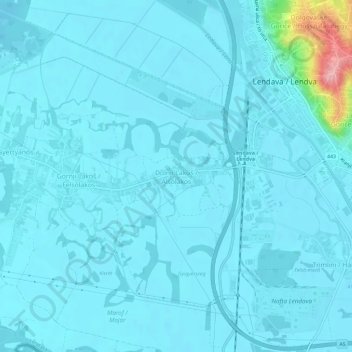
Name: Dolnji Lakoš / Alsólakos topographic map, elevation, terrain.
Location: Dolnji Lakoš / Alsólakos, Lendava / Lendva, 9220, Slovenia (46.53317 16.41473 46.57317 16.45473)
Average elevation: 168 m
Minimum elevation: 156 m
Maximum elevation: 302 m
Other topographic maps
Click on a map to view its topography, its elevation and its terrain.