
Moraine topographic map
Interactive map
Click on the map to display elevation.
About this map
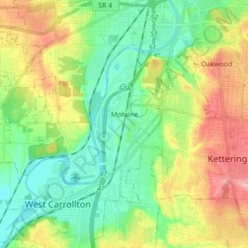
Name: Moraine topographic map, elevation, terrain.
Location: Moraine, Montgomery County, Ohio, 45439, United States (39.67255 -84.31952 39.73248 -84.19768)
Average elevation: 254 m
Minimum elevation: 208 m
Maximum elevation: 334 m