Geolocate

Opu topographic map

Interactive map

Click on the map to display elevation.

About this map

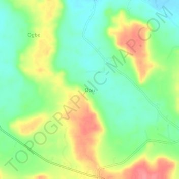
Name: Opu topographic map, elevation, terrain.

Location: Opu, Olamaboro, Kogi State, Nigeria (7.19903 7.50269 7.23903 7.54269)

Average elevation: 359 m

Minimum elevation: 326 m

Maximum elevation: 404 m

Other topographic maps

Click on a map to view its topography, its elevation and its terrain.

Amapa

Nigeria > Kogi State > Olamaboro

Amapa, Olamaboro, Kogi State, Nigeria

Average elevation: 268 m

Ede

Nigeria > Kogi State > Olamaboro > Ede

Ede, Olamaboro, Kogi State, Nigeria

Average elevation: 359 m